
Use cases

Beyond just a vision... solutions that make a difference

case_1

Defense & Security

Advanced aerial surveillance and reconnaissance solutions to support security operations and border protection.
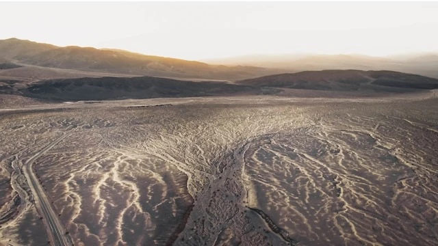
  • Large-Scale Border Surveillance
  • High-Precision Aerial Reconnaissance
  • Operational Support in Remote and Rugged Areas
  • Security Data Analysis
case_1

Geological Survey & Mapping

Advanced technologies for producing 3D maps and analyzing terrain with high accuracy.
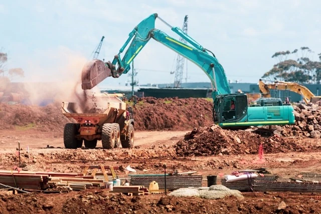
  • High-Resolution 3D Maps
  • Rapid Topographic Survey
  • Supporting the Saudi Geological Survey (SGS)
  • Natural Resources Analysis
case_1

Smart Cities & Infrastructure

Managing and analyzing infrastructure through advanced digital models.
  • Monitoring Projects Such as NEOM
  • Digital Twin
  • Mobility Analysis & Urban Planning
  • Asset Management
case_1

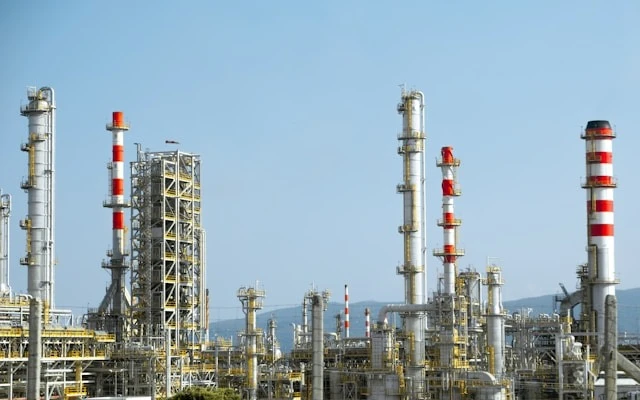
Energy & Industry

Smart Inspection and Monitoring Solutions for Industrial Facilities and Energy Infrastructure
  • Pipeline Inspection
  • Oil Facility Monitoring
  • Early Fault Detection
  • Reducing Human Risks
case_1

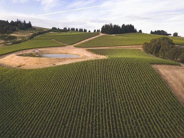
Agriculture & Environment

Environmental and agricultural analysis based on precise aerial data.
  • Crop Health Analysis
  • Water Management
  • Desertification Monitoring
  • Supporting Sustainability
case_1

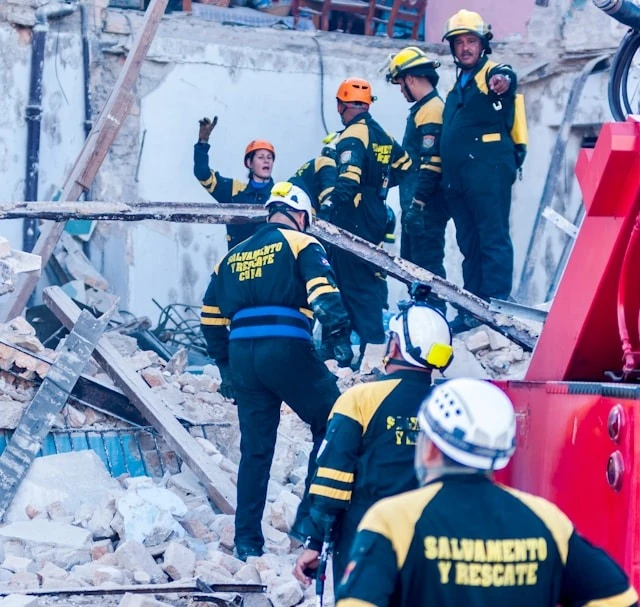
Emergency & Logistics Services

Supporting Rapid Response and Crisis Management Using Unmanned Aerial Vehicles (UAVs)

  • Search & Rescue
  • Damage Assessment
  • Supply Delivery
  • Disaster Management

Is your industry not listed here? Talk to us.

نقدم حلولاً مخصصة لقطاعات أخرى — تواصل لاستعراض حالتك الخاصة.

Review your status