
The official agent for the German company Mena3D in the Kingdom of Saudi Arabia. Since 2023, we have been providing you with the latest drone technologies, industrial measurement, and geospatial solutions to enable your projects with unparalleled precision.
As a leading company in 3D object measurement, Dimensional Space offers comprehensive solutions in measurement and geographic information for a wide range of applications. Our strength lies in our extensive experience with 3D technologies, as well as our development of these technologies in the Middle East and North Africa region.

An exclusive partnership with Germany’s Mena3D gives you technologies with European ISO standards, and millimeter-precision measurements.

A qualified Saudi team that understands market requirements, with an operations network that efficiently serves the Kingdom and the Gulf countries.

Our aerial operations are 100% compliant with Saudi General Authority of Civil Aviation (GACA) regulations and environmental standards.


We are transforming geography into a smart digital language; through advanced mapping and Geographic Information Systems (GIS) that give you a deeper understanding of place and space.

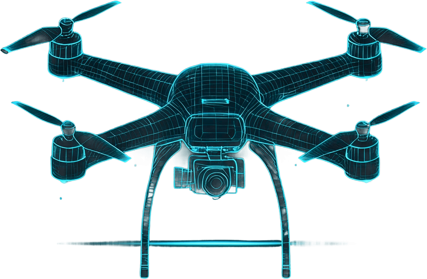
Fleets of drones equipped with state-of-the-art sensors provide you with exceptional access and high-resolution aerial data for complex and expansive areas.

The power of data lies in its analysis. We process raw information and transform it into software models and intelligent reports that support accurate, data-driven decision-making.

No Room for Error; we provide advanced industrial and engineering measurement services to ensure the highest standards of quality and compliance with global specifications in every detail.
We meet with your team to understand the project requirements, define the geographic scope, and develop a customized flight and surveying plan tailored to your objectives.
Deployment of drone fleets and advanced sensors to capture high-precision data, with full compliance with Saudi General Authority of Civil Aviation (GACA) regulations.
Transforming millions of data points into precise 3D models, topographic maps, and digital twin models ready for measurement, analysis, and informed decision-making.
Interactive reports, CAD models, and geospatial dashboards that empower your team to make faster, data-driven decisions.

Pipeline inspection, oil and gas facility monitoring, and leak detection using advanced aerial solutions.

Supporting Vision 2030 projects with digital twin models and urban infrastructure surveys.

Project progress monitoring, quantity calculations, and verification of compliance with engineering drawings.

Material volume measurement, topographic mapping, and analysis of site changes over time.

Aerial surveying, border monitoring, and operational support in rugged areas with high accuracy.

Crop health analysis, water management, and desertification monitoring using multispectral imagery.
Enterprise-grade drones, equipped with RGB sensors, thermal imaging, and desert-proof capabilities.
Measurements with centimeter accuracy and high point density, suitable for topographic surveying and complex 3D models.
Industrial-grade optical scanners for millimeter-level measurement accuracy, backed by European engineering quality standards.
Specialized software for point cloud processing, map generation, and automated digital twin model creation.
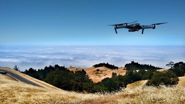
Advanced aerial surveillance and reconnaissance solutions to support security operations and border protection.
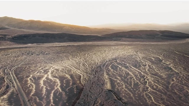
Advanced technologies for producing 3D maps and analyzing terrain with high accuracy.
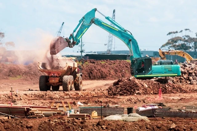
Managing and analyzing infrastructure through advanced digital models.

Smart Inspection and Monitoring Solutions for Industrial Facilities and Energy Infrastructure
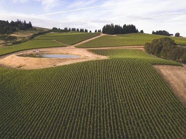
Environmental and agricultural analysis based on precise aerial data.
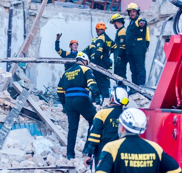
Supporting Rapid Response and Crisis Management Using Unmanned Aerial Vehicles (UAVs)
An exclusive partnership with Germany’s Mena3D gives you technologies with European ISO standards, and millimeter-precision measurements.
A qualified Saudi team that understands market requirements, with an operations network that efficiently serves the Kingdom and the Gulf countries.
Our aerial operations are 100% compliant with Saudi General Authority of Civil Aviation (GACA) regulations and environmental standards.

An automated processing pipeline that reduces delivery time from weeks to days, with measurable and auditable reports.

We export data in formats compatible with AutoCAD, ArcGIS, Revit, and other GIS systems, eliminating the need for complex conversions.

Training your team, ongoing technical consulting, and regular model updates to ensure the long-term value and sustainability of the solutions.




We serve the energy, oil & gas, infrastructure and smart cities, construction, mining, agriculture, defense and security, and government sectors. Each sector has a tailored methodology designed to meet its specific requirements.
The typical project cycle ranges from 2 to 4 weeks, depending on the site size and data complexity. We provide initial deliverables within 5–7 days for urgent projects, with final reports including 3D models, maps, and analytics.
Accuracy ranges from 1–2 cm for LiDAR aerial surveys to 0.05 mm for industrial measurements using Mena3D scanners. We select the appropriate technology based on the specific project requirements.
Yes, all our aerial operations are fully licensed by the Saudi General Authority of Civil Aviation (GACA), including flight permits, insurance, and pilot qualifications. We handle all regulatory procedures on your behalf.
We deliver data in formats compatible with global standards: DWG/DXF for AutoCAD, LAS/LAZ for point clouds, GeoTIFF and Shapefile for ArcGIS, IFC for Revit, in addition to interactive PDF reports and web dashboards.
Yes, we provide specialized training programs covering equipment operation, data processing, GIS platform usage, and best practices in geospatial data analysis. Training is available at the client’s site or at our facility.
Are you ready to measure the dimensions of your space?
contact us